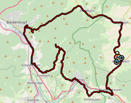
The Wetterhöhe - Katzenbach loop (Hesse, Marburg-Biedenkopf district)
To update your existing video, just delete it within Incyclist, overwrite the old video and both control files with the new ones. Then import the new video in Incyclist as usual.
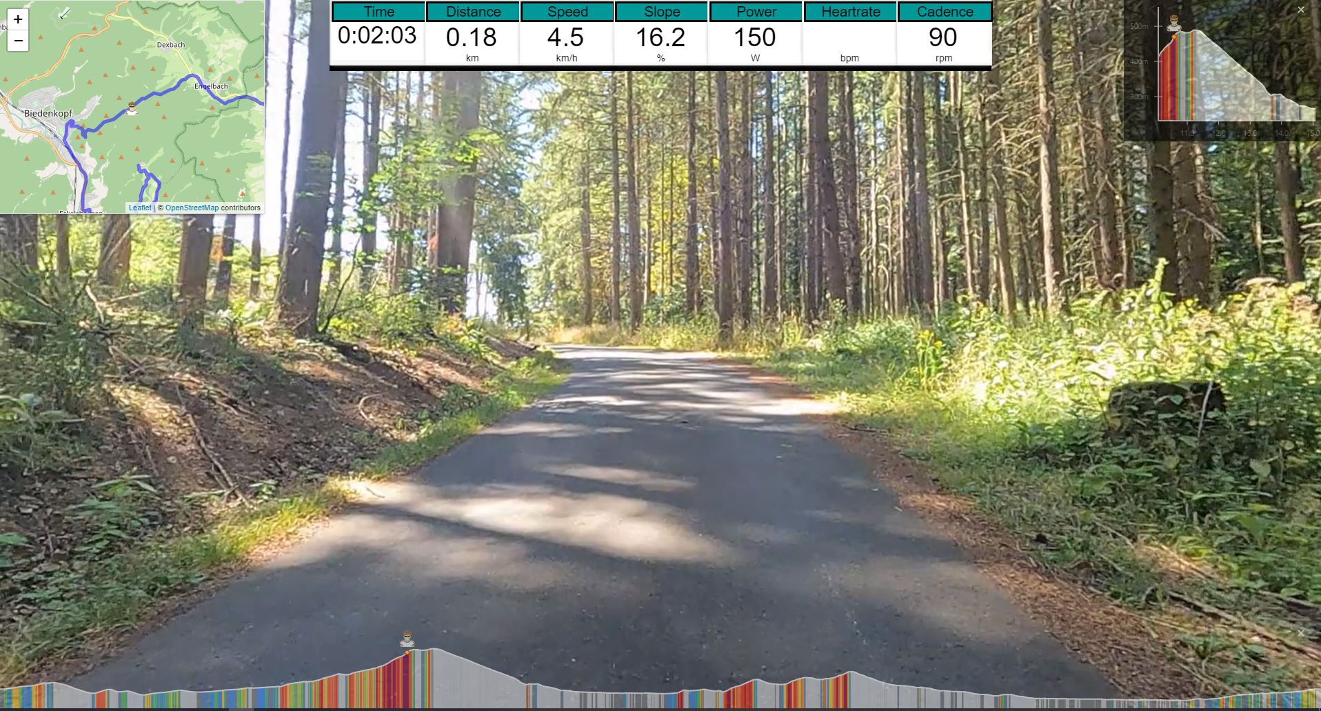
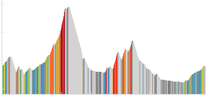
Wetterhöhe is the highest point (502 m) of an asphalted forest road between Engelbach and Biedenkopf.
It actually is a pass between the valley of the river Lahn and the valley of the stream Engelbach.
The pass belongs to the Hessian part of the Rothaargebirge (Rothaar Mountains).
The second ascent goes to Katzenbach, a small village, picturesquely embedded in the low mountain range landscape.
The descent goes over a well paved dirt road that connects Katzenbach with Buchenau and is a nice ride.
Download the video with Incyclist's control files (ZIP-Archive, 3.97 GB)

All files licensed under a
Creative Commons Attribution-NonCommercial-ShareAlike 4.0 International License.


Length: 34.3 km, ascent: 580 m, difficulty: moderate